
Cathy Constable on Mapping the Earth’s Magnetic Field in Time and Space
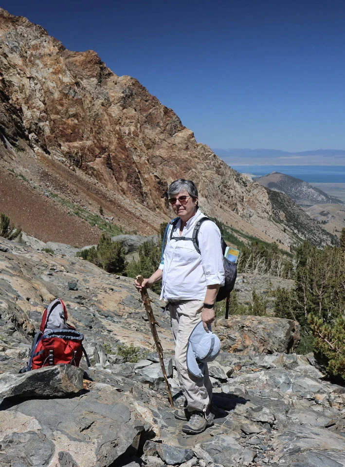
Cathy Constable is a Professor at the Scripps Institution of Oceanography. She measures the remnant magnetism of rocks and human artifacts around the globe to reconstruct not just the variations of the Earth’s magnetic field as a whole, but also its spatial variations from place to place over geological time. Here she is in Bloody Canyon with Mono Lake, California, in the background. Nearby sediments record a geomagnetic excursion.
Courtesy of Steven Constable
Listen to the podcast here or wherever you listen to podcasts.
Scroll down for illustrations that support the podcast.
Note - playing the podcast is not supported on Internet Explorer; please use any other browser, or listen on Spotify, Apple Podcasts, etc.
Podcast Illustrations
Cathy Constable and her coworkers created this reconstruction of the Earth’s magnetic field during the period spanning the Laschamp excursion about 40,000 years ago when the Earth’s field virtually disappeared.
Courtesy of Alexander Jordan, GeoForschungsZentrum Potsdam

A ship-towed magnetometer is used to measure magnetic anomalies and reveal magnetic stripes as sea-floor is created at a mid-ocean ridge and transported away. The Earth’s field is frozen in when magma solidifies as it erupts from the mid-ocean ridge. The stripes are good at recording the changing intensity of the Earth’s magnetic field, but less good as records of the contemporary direction of the field.
Courtesy of Jeff Gee
Raw Materials for Measuring Magnetic Fields in the Past

Stalagmites from Pau d’Alto cave in Central South America in which previously magnetized particles preferentially align with the magnetic field as the layer is deposited. As shown in the graphs at far right, the layers can be dated very accurately.
Courtesy of Trindade et al., 2018

Sediments that are probably varves from Lake Bosumtwi, Ghana, with each layer representing an annual seasonal cycle. The sediments contain preferentially aligned magnetized particles that indicate the direction of the magnetic field at the time they were deposited.
Courtesy of Koeberl et al, 2005
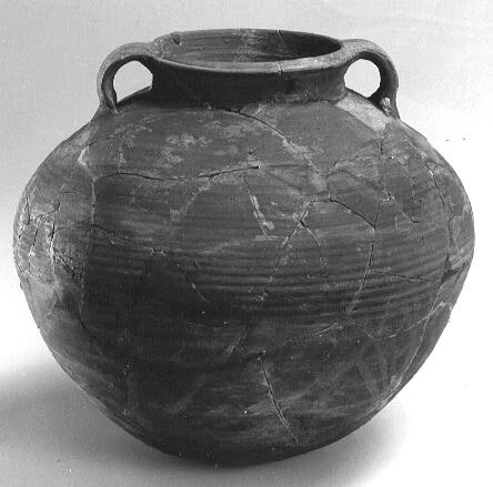
Fired materials such as bricks, pottery, kilns and hearths, as well as a pot such as the one shown, also retain a remnant magnetism frozen into place when they cooled, which can indicate the intensity of the Earth’s field at the time.
Courtesy of Agnès Genevey

Lava flows are imprinted with the magnetic field that prevailed at the time they solidified from the molten state. The image shows a lava from on Hawaii’s big island.
Courtesy of Cathy Constable

Paleomagnetic samples taken from a lava flow above Woodfjord in Spitzbergen, Norway, are oriented so as to record the absolute direction of their remnant magnetism.
Courtesy of Hubert Staudigel

This lava flow section at Steens Mountain in southeastern Oregon records a magnetic reversal at 16.7 million years ago.
Courtesy of Nick Jarboe
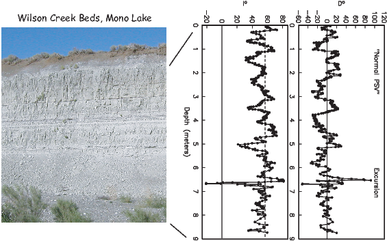
The Wilson creek sediment section north of Mono Lake records a geomagnetic excursion indicated in the graphs at right. The rock thickness whose magnetic field is shown in the graphs represents 23,000 years of deposition.
Courtesy of Lisa Tauxe, 2020

Magnetic field strength and field direction dip relative to the horizontal for three idealized fields: (i) a pure dipole field with the dipole parallel to the Earth’s rotation axis and about the same strength as the modern field (bottom); (ii) a quadrupole field parallel to the Earth’s rotation axis (middle); and (iii) an example of a quadrupole field that is not aligned with the Earth’s rotation axis (top).
Courtesy of Cathy Constable

Snapshots in time of the actual geomagnetic field. (i) Field strength and inclination for 2020; note the low field strength over the south Atlantic and South America, known as the South Atlantic Anomaly, and the deviation of the magnetic equator (line of zero inclination where the field is horizontal) from the geographic equator (top); (ii) field strength and inclination from 1000 CE when the overall field was appreciably stronger than today, and more dominated by a dipole field (middle); and (iii) geomagnetic field during the Laschamp excursion 41,000 years ago when the field strength was much lower and its direction was complex (bottom).
Courtesy of Cathy Constable

Reconstructions of variations in axial dipole strength with time from 100,000 years ago to the present. Black arrows indicate times when magnetic field excursions have been observed either regionally or globally, as in the case of the Laschamp excursion.
Courtesy of Cathy Constable