
Mike Hudec on Salt Tectonics
Listen here or wherever you get your podcasts.
Salt structures tens of kilometers in scale are common occurrences in the Earth’s crust. And because salt is extremely weak compared to most other rocks and minerals, it is the first to deform in the presence of stresses. This can have a dramatic effect on what happens to surrounding rocks, especially in compressive environments.
Hudec is a Research Professor at the Bureau of Economic Geology at the University of Texas at Austin.

Podcast Illustrations
Courtesy of Michael Hudec
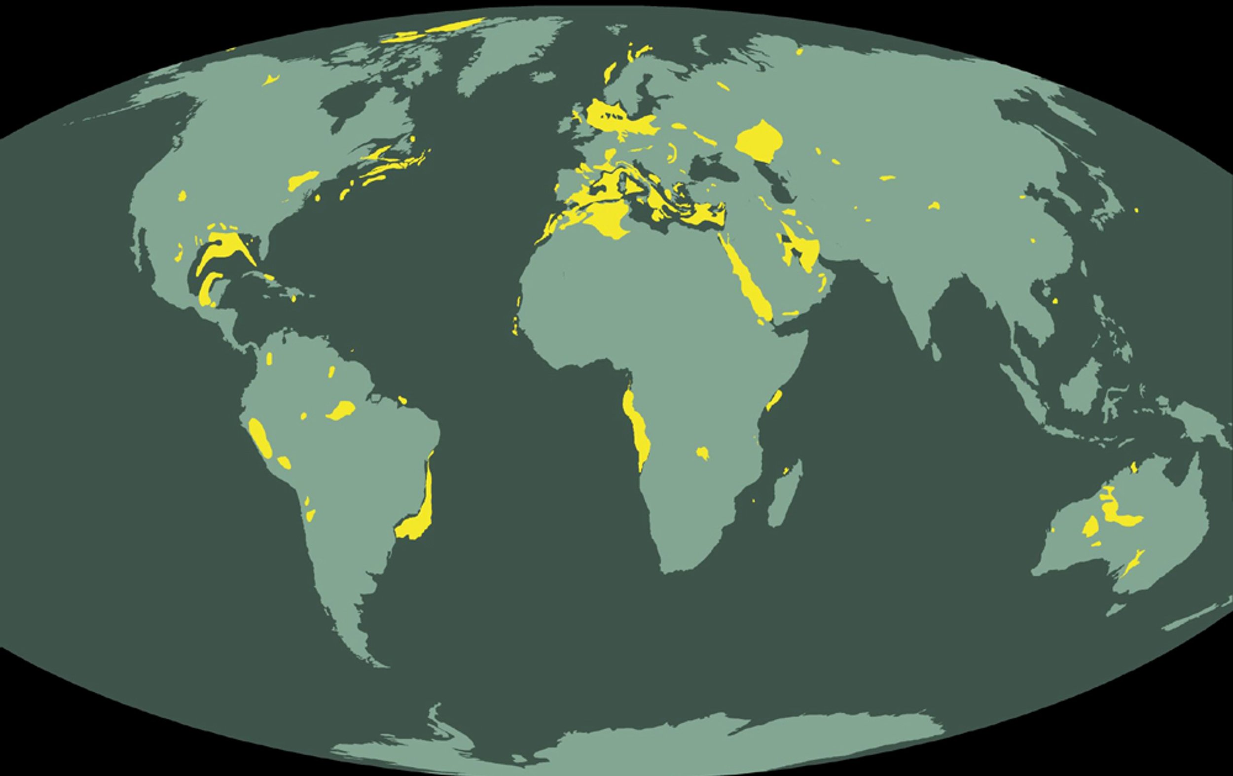
Map of the world’s salt basins. Each of these have salt diapir structures. In the podcast, Hudec mentions several of the large salt deposits shown, including the formation under the deep-water seafloor off Angola and the Gulf of Mexico.

Salt glacier flowing down a valley in the Zagros mountains, Iran.


Cardona Salt Mountain in Spain is an exposed salt dome. While the mountain is made of salt, which is soluble in water, it does not dissolve as it is shielded by surrounding rock and clay.

Onion Creek salt dome, Paradox Basin, Utah. The formation labeled “caprock” is a salt diapir.

Salt being deposited by evaporation in the Great Salt Lake, Bolivia.
Traditional salt mining techniques are still practiced in the Danakil Depression, Ethiopia.


Chapel of St. Kinga, carved out of salt in the Wieliczka salt mine, near Krakow, Poland. The mine dates back to the 13th century and is a UNESCO World Heritage Site. The chapel was carved from 1896-1964.
Block diagram showing the wide range of shapes that salt diapirs can assume.
Multiple salt glaciers flowing into a valley in the Zagros mountains of Iran.
Exposed salt dome in the Ravar Basin, Iran.
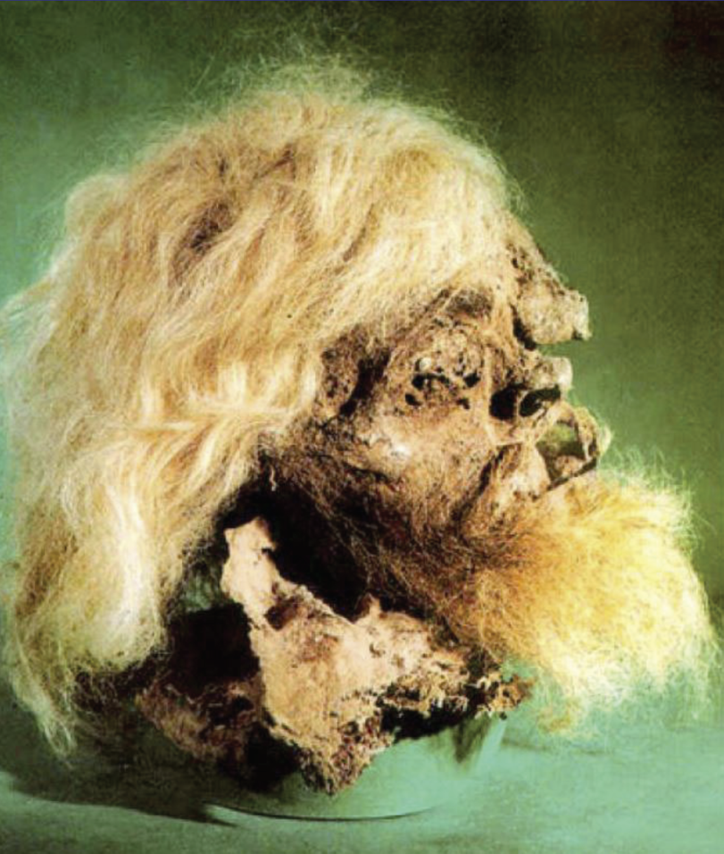
Head of Salt Man 1, recovered from Douzlakh salt at the Chehrabad salt mine, Iran. This miner died in the mine around 2,400 years ago, and his body was preserved in salt until its discovery in 1993.
In 1901, the Spindletop oil gusher launched the modern age of petroleum. The oil came from caprock units above the top of a salt dome.
